Valley walk
Hooker Valley day
From Queenstown
- On the track3 hours
- Length12 hours
- ShoesGrip for mud
Choose your stop
From Queenstown: Mt Cook & Hooker Valley Day Tour
★ 4.8 · From 549 reviews
Open 29 stops
Start by picking a route; tap a pin or stop for its note and Google Maps.
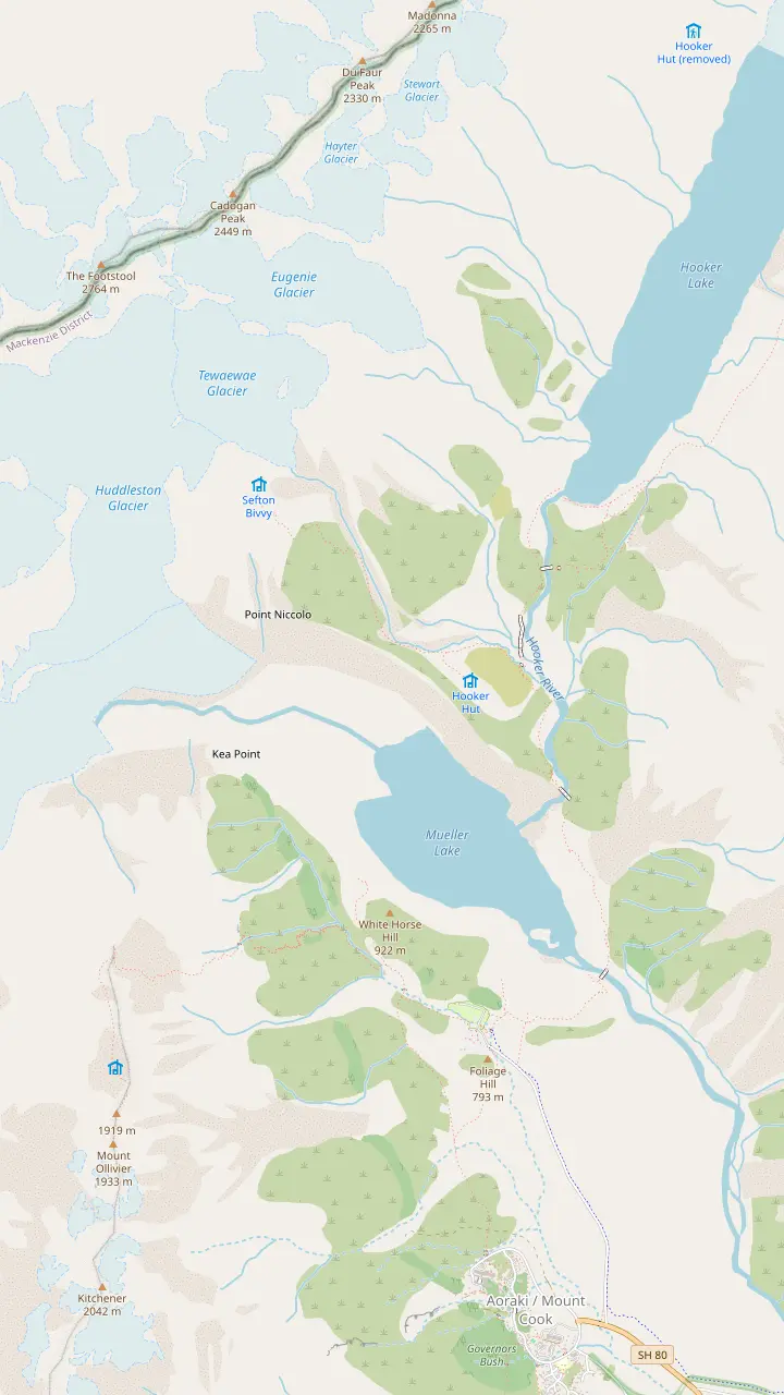
The Hooker Valley Track begins at White Horse Hill car park, where DOC charges for parking.
Google MapsA signposted side track near the start of the Hooker Valley walk, next to Freda's Rock.
Google MapsSwing bridges carry the track over the Hooker River, on gravel with some steps.
Google MapsFirst opened in 1910, the oldest hut in the park, with eight bunks.
Google MapsThe track ends at Hooker Lake, where icebergs float in summer below the mountain.
Google MapsA viewing deck on the Mueller Glacier moraine wall, 2 hours return from the village.
Google MapsAbout 2,200 steps climb to these small mountain lakes above the Hooker Valley.
Google MapsAn alpine serviced hut with 28 bunks, reached by a 4-hour advanced route.
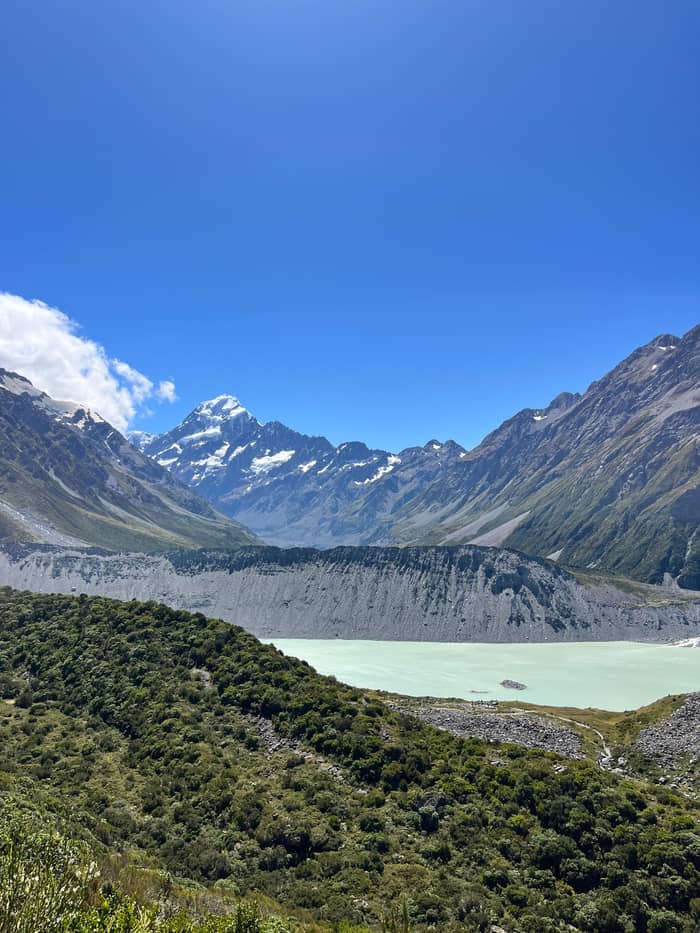
Google MapsThe lake below the Mueller Glacier, seen from Kea Point and from the first part of the Hooker Valley Track.
Google Maps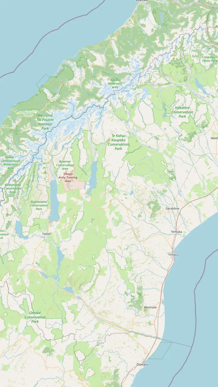
A coffee stop on the way south; the town is known for its food makers, such as a cheese factory in the town centre.
Google MapsCalled the Gateway to the Mackenzie Country, with a memorial to the sheep rustler who gave the region its name.
Google MapsA small township with a heritage walk and St Patrick's, the first pioneer church of the Mackenzie, from 1872.
Google MapsThe lakefront Church of the Good Shepherd was built from local stone in memory of the Mackenzie pioneers.
Google MapsA roadside lookout over Lake Pukaki on the road in; the Tekapo shuttle tour stops here for 10 minutes.
Google MapsThe Mt Cook Alpine Salmon shop stands here on SH8, near the lookout at the southern tip of Lake Pukaki.
Google MapsThe largest town of the Mackenzie, 45 minutes by car from Aoraki/Mount Cook.
Google MapsA high-country sheep station on Lake Pukaki, 15 minutes from the national park.
Google MapsThe village at the end of SH80, with a visitor centre, a day shelter, a fuel pump and a few places to eat.
Google Maps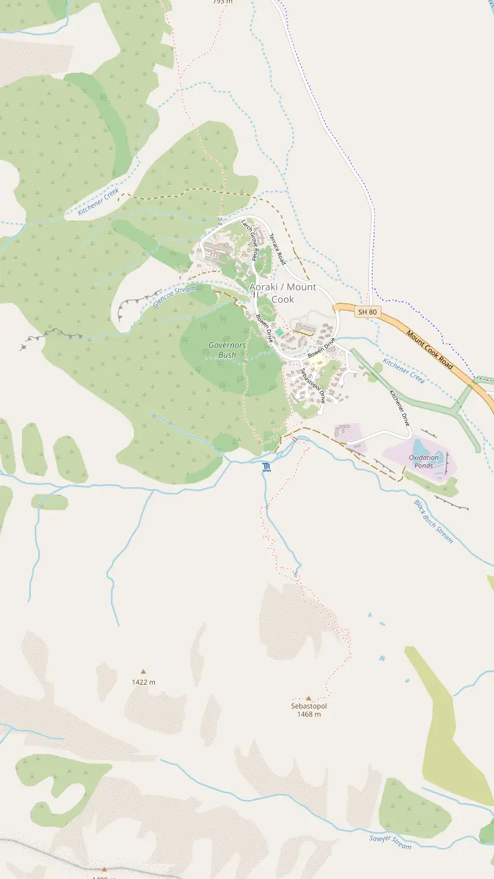
Free to enter and open daily from 8:30 am, with a large window that frames the mountain.
Google MapsThe hotel holds the Alpine Restaurant, the Panorama Room and the entrance to the Hillary Alpine Centre.
Google MapsA 30-minute walk from behind the Hermitage up to a lookout over the village.
Google MapsA 1.2 km loop through the trees to a lookout, sheltered on a poor-weather day.
Google MapsA steep, stepped climb of 300 m to small tarns coloured by red pond weed.
Google Maps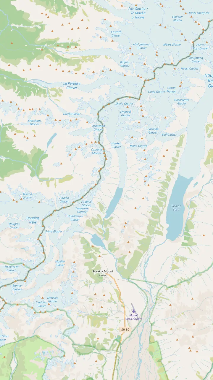
At 3,724 m, the highest peak in New Zealand, an ancestor sacred to Ngai Tahu.
Google MapsA 33-bunk alpine hut, the base for the guided route up the Linda Glacier.
Google MapsSeen from the Kea Point deck and the Hooker Valley lookouts.
Google MapsThe glacier at the head of the Hooker Valley, which feeds Hooker Lake.
Google MapsThe lake at the end of the Tasman Glacier, the largest and longest glacier in New Zealand.
Google MapsOne of the five big valley glaciers that shaped the park.
Google Maps© OpenStreetMap contributors, map data
Here are the best Mount Cook day hikes, from a bush loop next to the village to the Hooker Valley Track and the steps to the tarns, with distances, climbs and the walks that fit a tour.
Editorial team, mountcookdaytour.com · Updated November 8, 2026 · A 8 min read
The essentials
The best Mount Cook day hikes all start within a few minutes of each other, which is what makes the park so easy on a short visit. Tourism New Zealand describes day walks ranging from 10 minutes to four hours.10 Some begin at the public shelter in the village and some at White Horse Hill, at the end of Hooker Valley Road, a 5-minute drive from the village.11,12 None of them needs a guide or special gear in summer.
DOC ranks the Hooker Valley among the country's finest day walks, and it is the headline here.13 Around it sit shorter options: the Kea Point deck on the Mueller moraine, the bush loops by the village, and the steep stairs to Red Tarns and Sealy Tarns. On DOC's avalanche scale the Hooker Valley track to Hooker Lake, the Kea Point and Red Tarns tracks and the village tracks are all rated simple terrain.14 That rating changes once you leave them.
Driving in, plan for the car park. Parking at White Horse Hill is charged at NZD 2.50 a half hour, with a day rate of NZD 25, and a stay of under 20 minutes costs nothing.9,15 The machines take debit and credit cards, and cash is not accepted.16 Between 10 am and 4 pm in the months from November to March, DOC warns, spaces can run out.17 Arriving early beats circling the lot at noon, and the morning light on the valley is a bonus.
Compare the tracks
| Walk | Distance | Climb | Starts at |
|---|---|---|---|
| Hooker Valley | 10 km return1 | Gravel, some steps30 | White Horse Hill18 |
| Kea Point | 3 km of track3 | 180 m3 | Village or campground40 |
| Governors Bush | 1.2 km loop5 | Gradual41 | Public shelter42 |
| Glencoe Walk | 600 m return43 | Zigzag path44 | Behind the Hermitage45 |
| Red Tarns | 4 km return46 | 300 m7 | Public shelter47 |
| Sealy Tarns | Off Kea Point8 | 600 m48 | Kea Point track8 |
Distances and climbs as DOC lists them; the Kea Point climb is spread over its 3 km.3,1
How long is the Mount Cook hike, then? DOC gives the Hooker Valley Track as 10 km return on the same path, 3 hr return, graded easy to intermediate.1,2 The park page advises allowing 3-4 hours return, and Mackenzie tourism adds 1 hour if you start from the village instead of the car park.28,29 The surface is gravel with some steps, and you come back the way you went.30 The return leg gives you the mountain at your back, so turn around often.
The first section, car park to the first swing bridge, takes 15 min over 1 km.19 Signposted side tracks lead to Freda's Rock, named after the mountaineer Freda Du Faur, and to the Alpine Memorial.20 Mueller Lookout sits just before the bridge.31 The second section, 30 min over 1.5 km, crosses rocky humps of moraine to the Mount Sefton view lookout.21,32 DOC opened a new second swing bridge in July 2026; at 189 metres it is the longest suspension bridge in New Zealand.23,22
The last section, second bridge to Hooker Lake, takes 45 min over 2.5 km.24 The valley floor widens and tussock takes over, and toilets stand 15 min past the second bridge.33,25 The track ends at Hooker Lake under Aoraki/Mount Cook, and in summer icebergs drift on the water.27,26 Stay off the lake and the ice: DOC says the lakes are typically about 3 degrees and can quickly cause hypothermia.34
Kea Point is the walk for anyone who wants the view without the full valley. DOC gives 2 hr return from the village or 1 hr return from the campground at White Horse Hill.37 The climb is gentle, with 180 m of ascent spread across 3 km.3 The track winds through subalpine grassland and scrub to the moraine wall of the Mueller Glacier.52 For the longer version, start from Terrace Road near the visitor centre.40
The ground you cross has a story. DOC explains that a stream broke out of the glacier in 1913 and carved this ground on its way to the first Hermitage, which it damaged.53 At the end a viewing deck looks over Mount Sefton, The Footstool, the Hooker valley, the lake of the Mueller Glacier and Aoraki/Mount Cook.4 The effort is modest for what you see, which makes it a good choice on a day of tired legs.
Mackenzie tourism warns that Kea Point is open to the weather and needs care when it is wet or windy.54 On a fine day you can push an all-terrain buggy along it, and fairly sturdy shoes are advised.51 That makes it the family pick of the longer walks. Do not expect to meet the parrot it is named after on cue; any kea you see are wild birds, best enjoyed from a respectful distance with a camera.
Choose your walk
Start from the time you have and how your legs feel.
If I have about an hour
Kea Point from the campground
It takes 1 hr return from White Horse Hill.37
If I want the classic glacier lake
Hooker Valley Track
It ends at Hooker Lake below the mountain.27
If It is wet or windy
Governors Bush
The loop is sheltered in poor weather.49
If I want a hard climb with a view
Red Tarns or Sealy Tarns
If I am walking with small children
Governors Bush or Kea Point
Both suit families; a buggy can go along Kea Point in good weather.50,51
If I want a guide and transport
A hiking day tour
The Queenstown day gives 3 hours on the valley track, from $161.
Walk with a tour
Valley walk
From Queenstown
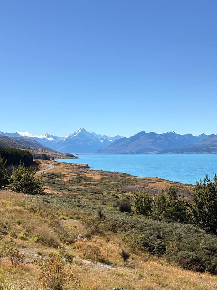
Walk choice
From Christchurch
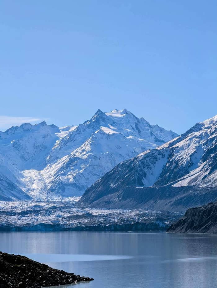
Longest walk
From Lake Tekapo
Governors Bush is the short walk for a cloudy or windy day. DOC lists it as a 1.2 km loop of 1 hr return, with a gradual climb to a lookout over Wakefield Ridge and Aoraki/Mount Cook.5,6,41 Mackenzie tourism adds that it winds through silver beech where fantail and kea are common, and it calls the loop a great walk for children.93,50 DOC notes its shelter in poor weather.49 It is the walk to save for the afternoon the cloud comes down.
The loop starts at the public shelter, which has toilets, hot water, a shower and a picnic area.94 Bowen Bush Walk can be joined to it: a 250 m loop of 10 min that starts opposite the petrol pumps.35,95 Glencoe Walk is the other quick one, 600 m return and 30 min, starting behind The Hermitage Hotel.43,36,45 It zigzags through totara and ferns to a lookout near the water tanks above the hotel.44
These walks are made for the gaps in a day. DOC names dawn and dusk as the moments for light-play on the peaks from the Glencoe lookout, ideal for anyone sleeping in the village.96 On a tour, a village loop fits around lunch better than a long valley walk, and it keeps you close to the bus. Mackenzie tourism notes that the smallest children may need carrying in a backpack on Governors Bush, so bring the carrier rather than the pram.97
Price a walking day
Choose how many are going and compare each tour's from-price.
3 options compared
Choose how many are going and compare each tour's from-price.
≈
View≈
View≈
ViewFigures are GetYourGuide from-prices, translated at the ECB reference rate. The booking step shows what you pay exactly.
Hooker Valley Track
Start
Begin at the car park at the end of Hooker Valley Road.18,12
First section
15 min over 1 km, past Freda's Rock and the Alpine Memorial.19,20
Second section
30 min over 1.5 km to the second bridge.21
New bridge
Last section
Turnaround
Red Tarns is the short, sharp option. DOC gives 4 km return and 2 hr, on a steep and mainly stepped track with a 300 m height gain.46,38,7 It starts at the public shelter on Bowen Drive, crosses the bridge over Black Birch Stream and then climbs hard.47,98 The small lakes take their name from the red pond weed that grows in them.72 DOC calls the top a magnificent spot for a summer sunset.99 Bring a torch if you stay for it.
Sealy Tarns is the big effort of the day walks. DOC times it at 3 - 4 hr return, with a 600 m height gain and about 2,200 steps known as the stairway to heaven.39,48,8 There is no shelter and no other way down, and DOC advises turning back if bad weather approaches, generally from the north-west.100 In winter the track can be extremely icy, ice axe and crampons may be needed and avalanche risk may exist.101
Above Sealy Tarns the walk becomes a mountaineering route. DOC describes the Mueller Hut Route as an alpine route that needs mountaineering experience, with possible snow and ice from March to November.102 The hut is 4 hr one way on an advanced track, and it runs through complex avalanche terrain.71,103 Treat the tarns as the end of a day hike, not the start of a bigger plan. The view from the top already takes in most of the valley.
Video
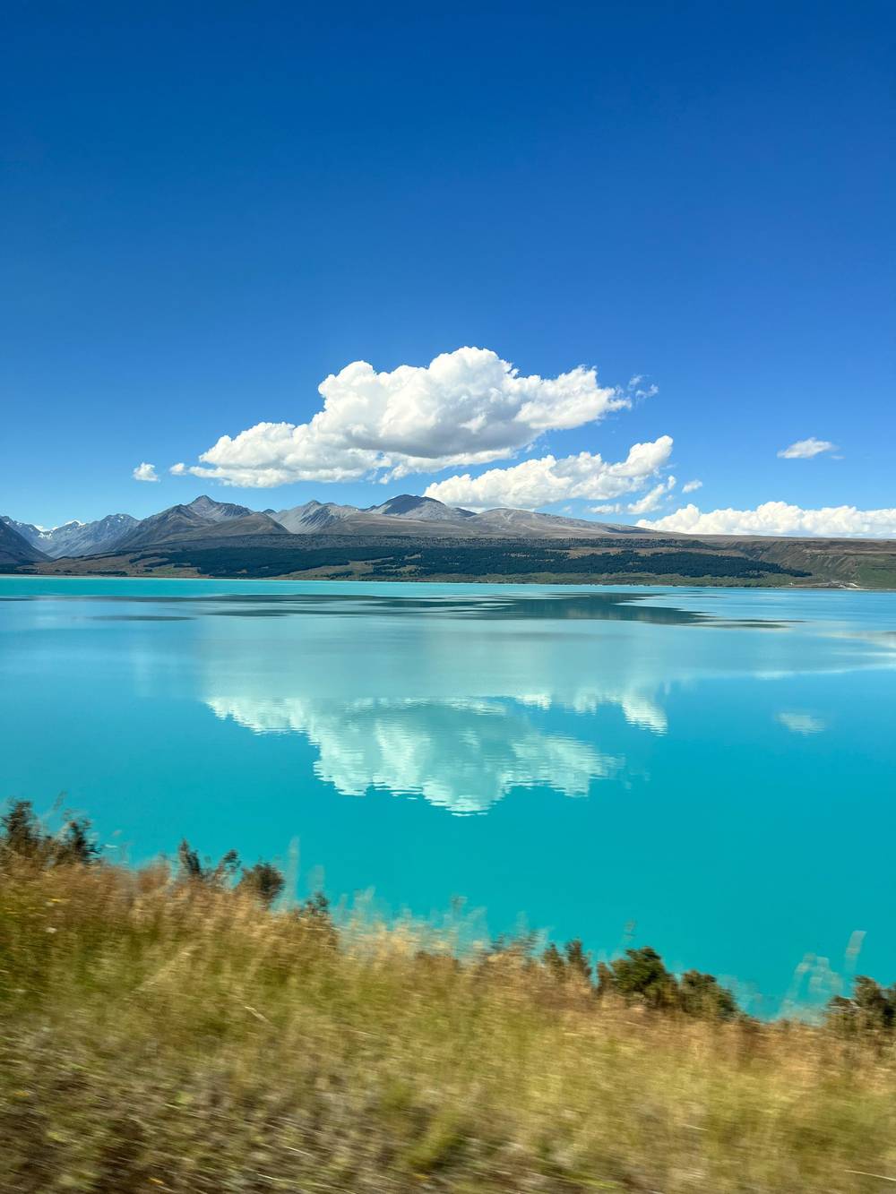
Peter and Yen on YouTube · Playback files load only once you tap play.
Walk through the Hooker Valley to the foot of Aoraki/Mount Cook on one of New Zealand's best day walks
Before you walk
On a coach day the walk has to fit the clock. The free time on our listing, about 2.5 hours, has to cover both lunch and walking, and the itinerary also sets 1.5 hours at the Tasman Glacier stop. The guide leads the day but not the park walks, which you do on your own. That leaves room for Kea Point from the campground or a short village loop, but not for the full Hooker Valley return.
A Mount Cook hiking tour builds the day around the walk instead. On the Queenstown day tour featured here you get 3 hours on the valley track, and the listing asks for shoes that grip in mud; it starts from $161. On the Christchurch day with lunch, guests pick between two walks, the valley track or the Tasman Glacier. The Tekapo shuttle gives the Hooker Valley Track 4 hours. Read each itinerary for the walking time before you compare prices.
If the full valley matters to you, pick by walking time, not by the price alone. A tour with 3 or 4 hours on the track lets you reach the lake at an easy pace and stop at every bridge. A tour with a shorter park stop suits travellers who would rather see the lakes and the village. Either way, wear real shoes; DOC rates the valley as easy to intermediate, not as a stroll.2 Sandals and city shoes are a poor choice on gravel and steps.
DOC's warning is blunt: weather here changes very fast, and wind, heavy rain, snow and sharp temperature swings can arrive in any month.104,105 Carry warm and waterproof clothing, sunscreen and water on every walk, however short.87 Gales or heavy rain close the Hooker Valley Track, and a gate and signs mark the closure.90 Check at the visitor centre before a longer climb, and turn back early rather than late.
Plan the toilet stops. DOC asks walkers to go before setting out, and the Hooker Valley has toilets about halfway.89 In winter the track can be very icy and slippery in the shade, and DOC recommends microspikes and hiking poles.106,88 Beyond the outlet end of Hooker Lake you need real avalanche experience.91 Do not climb icebergs either: they are unstable and can tip.107 The safest photos are taken from the shore.
Busy months need patience. Tourism New Zealand flags December to February as the crowded months on the valley track, within a walking season of October to April.108,109 Recreational drones are banned across the park, and dogs are not allowed.110,111 Pack out all your rubbish, since bins are few and Ngāi Tahu hold the water running from Aoraki to be sacred.92,112 Leave the park as clean as you found it.
FAQ
Its deck looks over Mount Sefton, the Hooker valley, the Mueller lake and Aoraki/Mount Cook.4
Toilets stand 15 min after the second swing bridge.25
Ours leaves about 2.5 hours free; the Queenstown hiking day spends 3 hours on the valley track.
Sources
Further reading
Planning a day out to Aoraki? A real person replies here.